American Viticultural Area
Santa Ynez Valley
Established May 16, 1983
- What sets it apart
- Summer temperatures rise from west to east going upriver.
- Grapes you will find most
- Syrah, Pinot Noir, Chardonnay, Grenache
- Named most often by the 64 listings here.
AVA boundaries: UC Davis Library AVA Project.
Santa Ynez Valley, established in 1983, follows the Santa Ynez River between the Purisima Hills and San Rafael Mountains to the north and the Santa Ynez Mountains to the south. The rule that created it put its area at 285 square miles. Four later AVAs sit inside it: Sta. Rita Hills, Happy Canyon of Santa Barbara, Ballard Canyon and Los Olivos District.
Climate and soils
Summer temperatures rise from west to east going upriver. The 1983 rule records about 16 inches of average rainfall, and fog reaching elevations of 1,000 to 1,200 feet.
Facts on this page come from the TTB rulemaking: read the rule in the Federal Register
The facts
- Established
- May 16, 1983
- Regulation
- 27 CFR 9.54
- Final rule
- T.D. ATF-132, 48 FR 16250
- Lies within
- Central Coast
Dates are the effective dates of the federal rules. Acreage is shown only where a rule states the total.
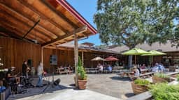
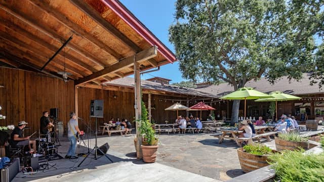
Wineries and tasting rooms in Santa Ynez Valley



































Also making Santa Ynez Valley wine
Located elsewhere, with vineyards or wines from this AVA according to their own websites.





































Named vineyards in Santa Ynez Valley
21 vineyards, named by the wineries that farm or buy from them and by the federal rulings. Working farms, not places to visit; where we list the winery tied to one, it is linked.
- 11 Oaks Vineyard (Carhartt)Carhartt Family WinesSource
- Alamo Pintado VineyardLincourt VineyardsSource
- Buttonwood Farm VineyardButtonwood Farm & VineyardSource
- Canyon Vineyard (Carhartt)Carhartt Family WinesSource
- Curtis VineyardAndrew Murray VineyardsSource
- Demetria Estate VineyardDemetria EstateSource
- Firestone estate vineyardsFirestone VineyardSource
- Home Ranch (Gainey)Gainey VineyardSource
- Jurassic Park VineyardAndrew Murray VineyardsSource
- Koehler Estate VineyardKoehler Wine EstateSource
- La Cuesta VineyardLincourt VineyardsSource
- La Presa VineyardSource
- Lavender Oak VineyardLavender Oak VineyardSource
- Mesa Vineyard (Carhartt)Carhartt Family WinesSource
- Refugio Ranch VineyardRefugio Ranch VineyardsSource
- Roblar Estate VineyardRoblar Winery & VineyardsSource
- Stag Canyon VineyardSource
- Two Wolves VineyardTwo Wolves WineSource
- Valley View VineyardLucas & Lewellen VineyardsSource
- Watch Tower VineyardSource
- Zaca Mesa VineyardZaca Mesa WinerySource